
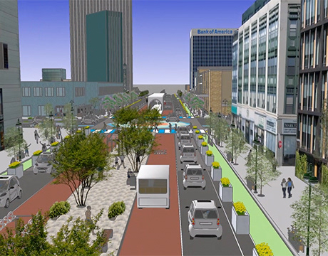
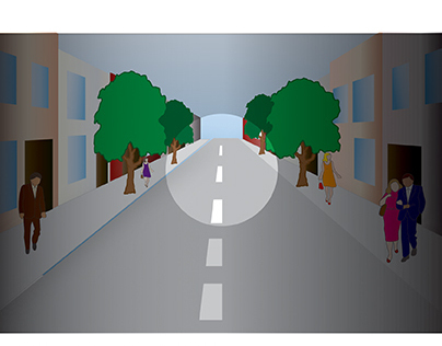
Planning for Autonomous Vehicles
2017
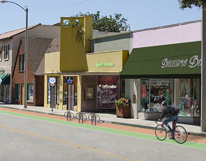
Simulated Commercial Facade and Street Upgrade
2015
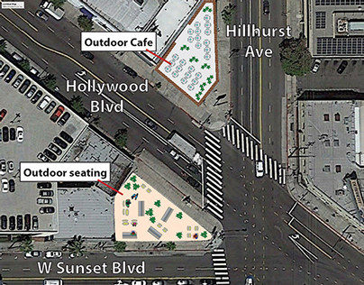
Hollywood, Hillhurst and Sunset
2015
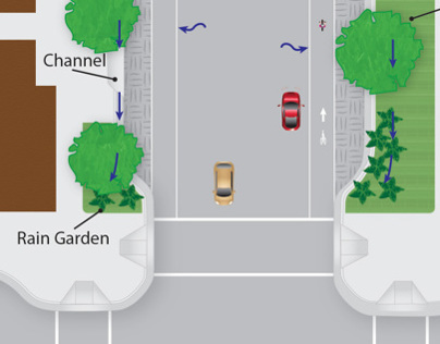
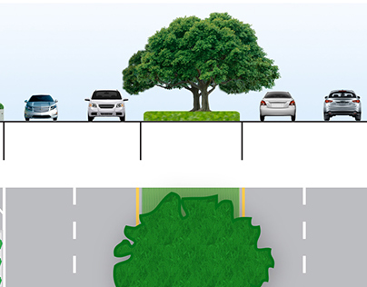
Crowned Street
2013
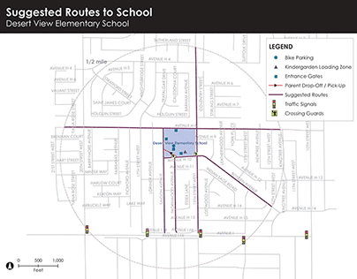
Lancaster Safe School Project
2014
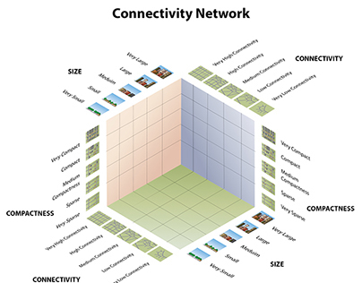
Connectivity Network
2014
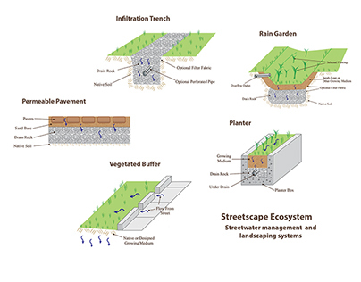
Streetscape Ecosystem
2014
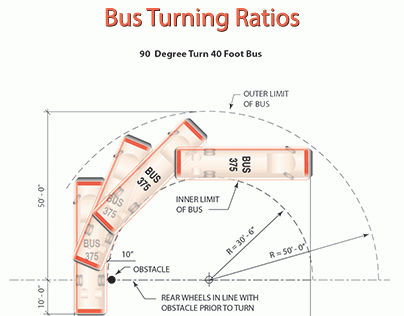
Bus Turn Ratios and Bus Bays
2014
Linear Street Zones
2013
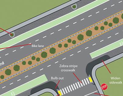
Streetscape
2013
Cross Section
2013
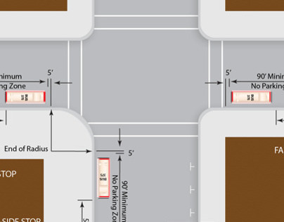
Bus Zone Dimensions
2013
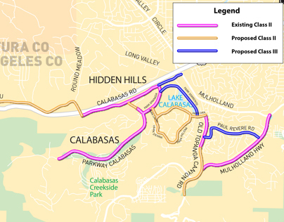
Bike Paths Map
2013
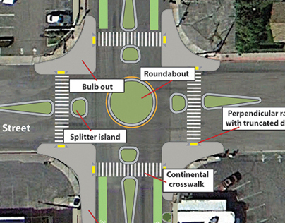
Pedestrian Safety
2013